-
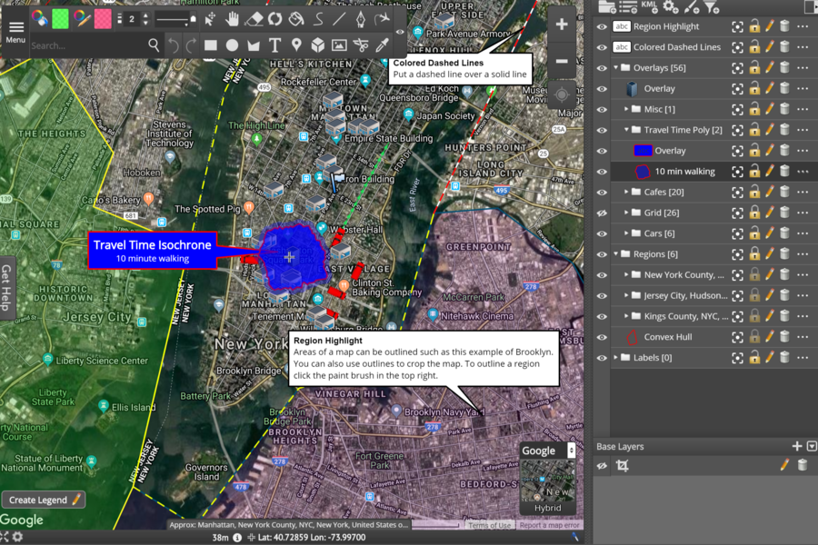
User-friendly interface
Easy to use and navigate
-
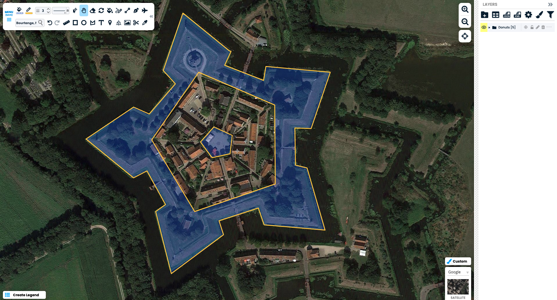
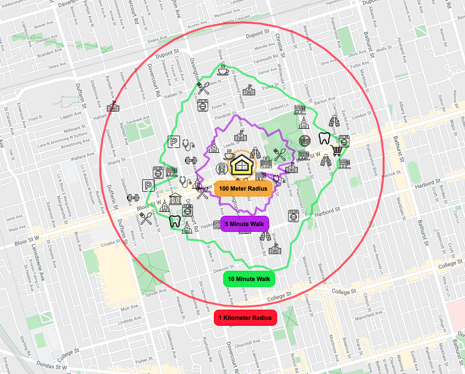
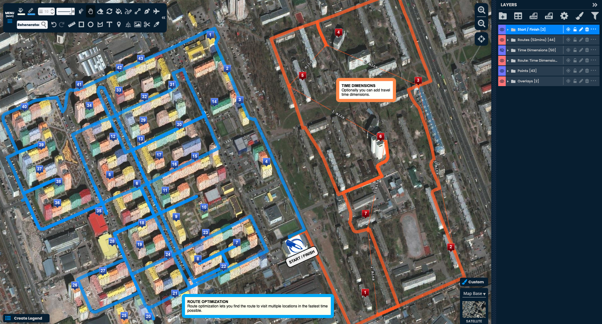
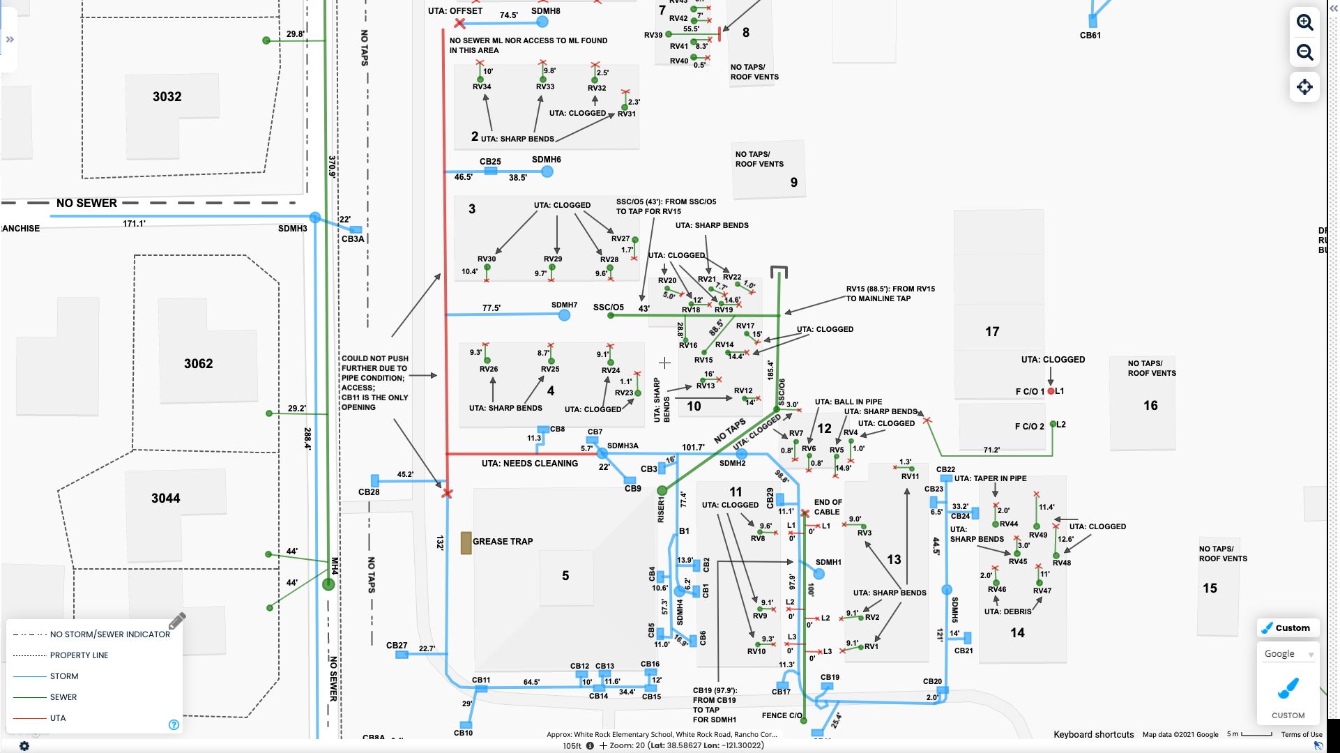
Customizable maps
Users can create and edit maps to fit their needs
-
Collaboration features
Allows multiple users to work on the same map simultaneously
-
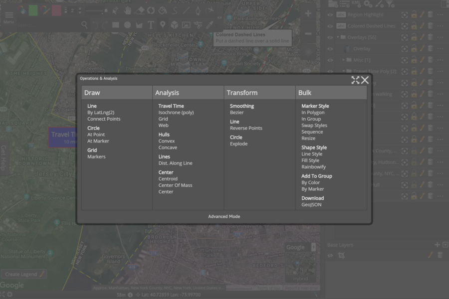
Limited functionality
Not suitable for complex mapping needs
-
Limited integrations
Does not integrate with many other software tools
-
Limited support options
Only offers email support
- Could increase market share by integrating with more software tools
- Could attract more users by adding more advanced mapping features
- Could focus on specific industries with unique mapping needs
- Facing competition from other mapping software providers
- Market needs and preferences for mapping software could change
- A potential economic downturn could impact demand for mapping software
Ask anything of Scribble Maps with Workflos AI Assistant
https://www.scribblemaps.com/Review Distribution
-
👍
High - rated users
Very user friendly, the most accessible software to design and draw on maps. I also like being able to consult maps from my phone and laptop.The icons are ugly and could be better. There needs to be more detail on the maps. I sometimes have to have Google maps open on another tab to reference important locations such as train stations that aren't marked.
-
🤔
Average - rated users
As a beginner it was easy to start up with.Complicated when you want to download your maps. Technical problems is not solved quickly.
-
👎
Low - rated users
Scribble Maps has been one of the best things to happen to us, both as a company & a customer. Their 13 years & counting of Customer Feedback & Implementations make their service one of the best & most unique. Not to mention it's pretty well-rounded/versatile & helps me produce some of the crispest/freshest maps we could ask for. Various tools are readily available, from importing raw data, creating/managing polygons, heatmaps, parcel data, geocoding & filtering data to visualize overall sales/production and quickly generate team rotations for specific counties/cities we service. Their Customer Support honestly has been top-notch, esp for being of a somewhat smaller yet upcoming company in a big way. They've always been patient, receptive, think outside the box & always happy to help.The most significant challenge/con I face from time to time is the legibility of the street names post creating/saving a map. (highly dependent on map size & your zoom level). You almost have to "zoom-out" 1 level prior to "saving map image" to Zoom-in more when using "windows photo viewer" to crop the image (zoom in around borders of maps/polygon created). I only do this to open these maps in Paint 3D & manually label every street within said maps we create to improve production.
Media
