Canvas X Geo
0
0
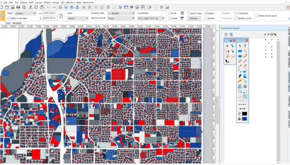
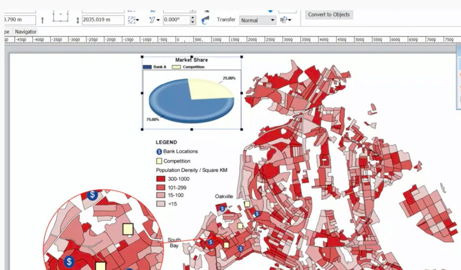
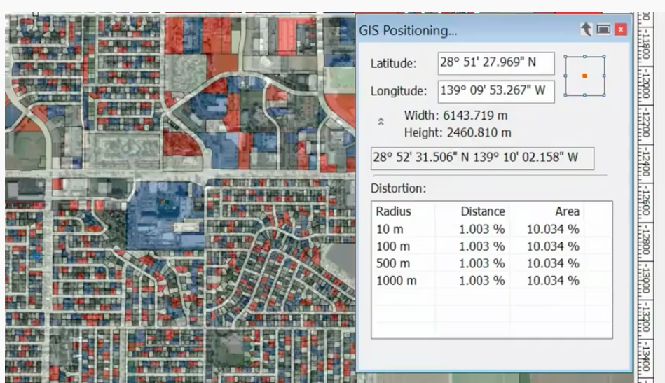
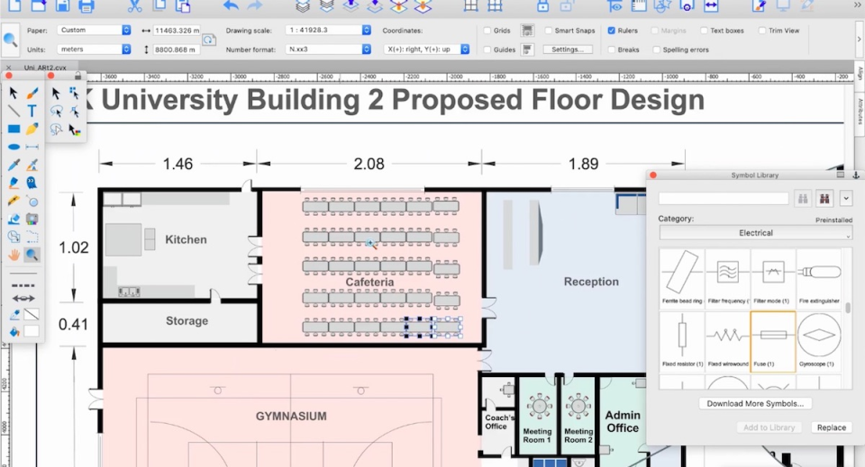
Canvas X Geo is a data illustration software for geospatial data. With a powerful graphic toolset, users can view GIS data visualizations down to granular details and measure and position objects with extreme precision. Canvas X Geo can display and filter in over 70+ geospatial data formats and import documents with over one million objects in high resolution to create rich visualizations.
Ask anything of Canvas X Geo with Workflos AI Assistant
https://www.canvasgfx.com/en/products/canvas-x-geo/
Apolo
Squeak squeak, I'm a cute squirrel working for Workflos and selling software.
I have extensive knowledge of our software products and am committed to
providing excellent customer service.
What are the pros and cons of the current application?
How are users evaluating the current application?
How secure is the current application?
 Sign up for free
Media
SSO Free Forever
Manage Google Drive, Mailchimp, Dropbox Business, Microsoft PowerPoint, QuickBooks Desktop Enterprise, Canva, Zoho One, DocuSign, Salesforce Sales Cloud Suite, Adobe Photoshop with SSO